

Flydar
Aerial Surveys

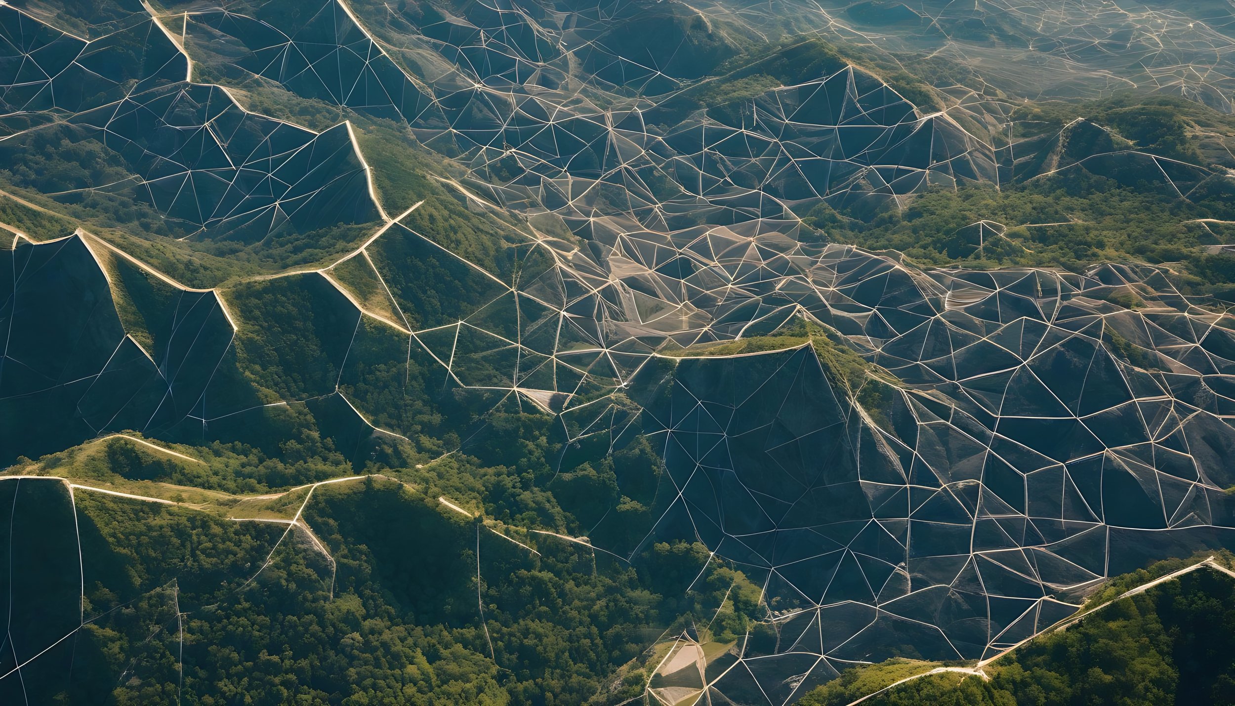
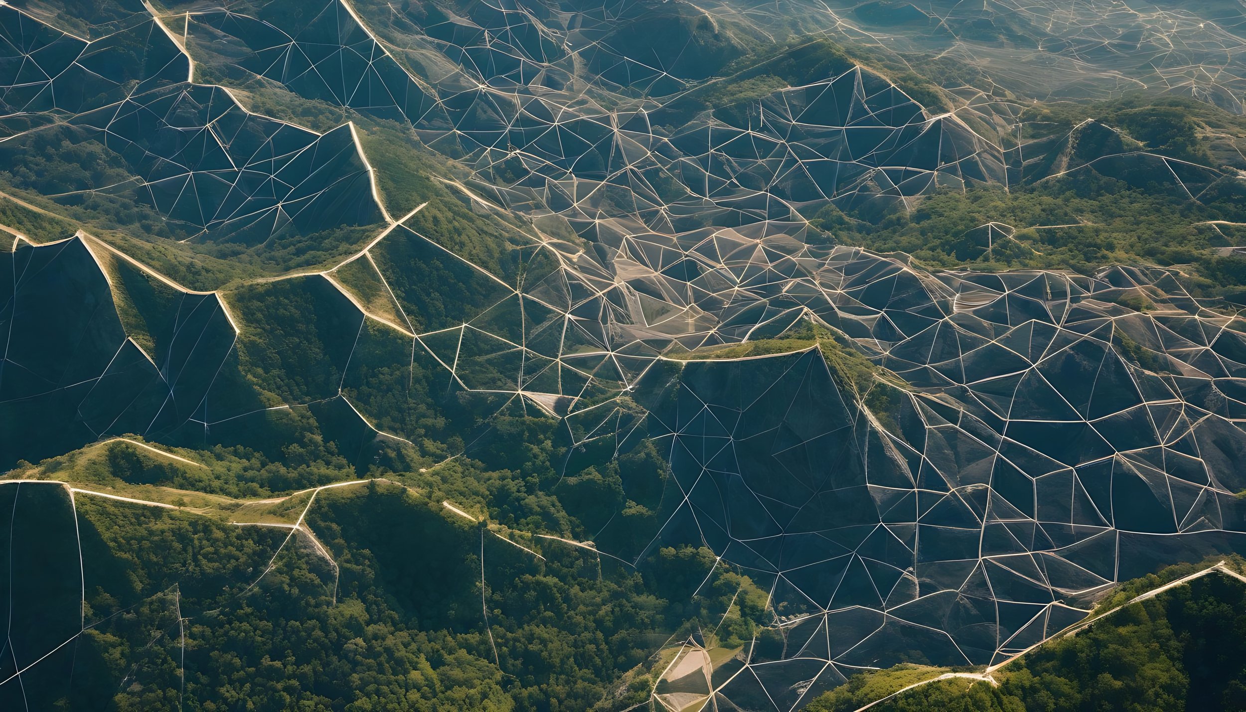
All the data from one flight
Our Services
-

LiDAR - Lazer surveys suited for accurate survey work on landscapes and buildings
LiDAR Mapping: Capture accurate terrain data.
Vegetation Penetrating: Access data through dense vegetation.
LiDAR Surveying: Generate 3D models and point clouds.
Efficient Collection: Survey large areas quickly.
Cost-Effective: Save time and money.
Versatile Applications: Ideal for various industries.
Reliable Insights: Actionable data for planning.
-

Photogrammetry - building digital meshes using high powered geo located photography
High-Resolution Imagery: Detailed aerial images.
Accurate 3D Mapping: Precise topographic models.
Efficient Data Collection: Fast surveys, minimal disruption.
Cost-Effective: Reduced time and costs.
Versatile Applications: For construction, agriculture, etc.
Better Decision-Making: Smarter project planning.
-

Survey Data Processing - Enhancing and refining data-rich surveys for clear, actionable insights.
Organise Data: Import raw LiDAR data.
Classify Data: Automatically sort into categories.
Quality Control: Refine for accuracy.
Identify Features: Extract key terrain elements.
Create Models: Generate surface meshes.
Deliver Outputs: Provide maps and CAD files.
-

3D Modelling and Visualisation - using data sets and 3d modelling to present high quality accurate visuals
Photorealistic Renders: High-quality 3D visuals
3D Animations: Flythroughs & visualisation
Accurate Visualisation: Scale models for planning
Interactive Presentations: Engaging 3D views
Architectural Design: Visuals for architects
Bespoke Services: Custom 3D solutionsg.
Vegetation Penetrating Lidar
Millions of lazer points penetrate the canopy and accuarte map the land below
With Vegetation

Without Vegetation

Survey deliverables

-
High-resolution datasets representing the surveyed area.
-
Detailed maps showing elevations and terrain features.
-
Detailed 3D representations of the landscape for planning and design.
-
Accurate, dimensioned drawings of buildings for architectural and structural use.
Further Services
-
Utilize 3D Data: Leverage detailed drone-captured data to modify existing buildings and design new structures.
Design Innovation: Create innovative designs for various potential sites.
Multiple Formats: Showcase final designs in detailed 3D models, comprehensive 2D plans, and high-quality rendered images.
Clear Visual Representation: Provide clients with realistic, clear visuals of projects to aid decision-making.
-
Collaboration with Architects: Work closely with architects and planning consultants.
Informed Planning: Help produce well-informed plans for various planning applications.
Tailored Services: Ensure surveying services meet the unique needs of each project.
Professional Guidance: Provide valuable insights to assist in effective project planning.
Case Study: Land Survey, Derbyshire

Task: survey and process data for a new development site in Matlock, Derbyshire,
The data was to be used for the visualisation and further design of the development.
Client: Private
Equipment Used: Matrice M350 RTK with L2 Lidar Sensor, GNSS ground point
Survey time: 2hrs
Deliverables - all exportable as 2d or 3d digital files
-
![]()
Full RGB Point cloud
-
![]()
Feature Tracing for 2d Export
-
![]()
Ground and Feature Classification and Isolation
-
![Further Feature Classification]()
Further Feature Classification
-
![]()
Ground Isolation
-
![]()
Section Cut and Profile Display
-
![]()
Gridpoints/ Countours and Basic Land Meshes


Our Equipment

-
Uses - Large Site Surveys
Survey Types - Photogrammetry and Lidar

-
Uses - General Site Surveys
Survey Types - Photogrammetry

-
Uses - Videos and Photography
Survey Types - Photo and Video

-
Uses - Photogrammetry and Lidar Surveys, manual topographical surveys, and control point checks.
Using a GNSS receiver improves the accuracy of our surveys and helps us identify and log key points in our UAV surveys.
Frequently asked Questions
Are you licensed?
Yes! we hold commercial drone licenses allowing us to fly, larger more accurate drones in closer proximity to buildings and people.
What is the accuracy
The accuracy of our surveys are around 2-4cm. We use additional processes such as a manual ground survey and Ground control points that allow us to provide a confimation of accuracy with our surveys.
How does it work
The drones (UAVs) utilise an international group of satellites called real time kinematics (RTK), RTK position the UAV with 1.5cm anywhere in the world. It is like GPS with a sat nav system, but this is only accurate to 3m, so RTK is much more accurate.
What does it all mean
RTK - Real Time Kinematics
VLOS - Visual Line of Site
UAS - Unmanned Aerial System
Discover the Possibilities
Excited about exploring new opportunities? Share your details and we'll get back to you promptly. We can't wait to embark on this journey with you!